
GIS overview
Leeward CC’s developing GIS curriculum introduces students to foundational and applied geospatial skills through hands-on coursework and project-based learning experiences.
GIS Skills & Learning Areas
Spatial Analysis, Cartography, Data Management, Webmapping
- Create, manage, and analyze spatial data for mapping and visualization
- Design professional maps using contemporary geospatial workflows
- Use GIS to support decision-making in community, environmental, and planning contexts
- Communicate findings through maps, visualizations, StoryMaps, reports, and presentations
Who these courses are for
- Students exploring GIS, geography, sustainability, environmental studies, or planning
- Working professionals seeking GIS upskilling for land use, utilities, agriculture, emergency management, or resource management
- Career changers looking for a practical, stackable geospatial credential
- Students who want a pathway into more advanced GIS coursework or transfer study
GIS Competencies Explored in Coursework
Through GIS coursework, students may gain experience in:
- Apply GIS concepts and methods to create, manage, and analyze spatial data for mapping and visualization.
- Design and produce professional maps using industry-standard geospatial technologies.
- Perform spatial analysis to support decision-making in various fields that use spatial information.
- Communicate spatial analysis results effectively through maps, visualizations, and reports for diverse audiences.
Why GIS at Leeward CC
At Leeward CC, students learn GIS in a supportive, community-centered environment rooted in place, purpose, and opportunity. Small class sizes, accessible faculty, and hands-on learning experiences allow students to build real skills while connecting geospatial tools to Hawaiʻi’s unique landscapes, communities, and challenges.
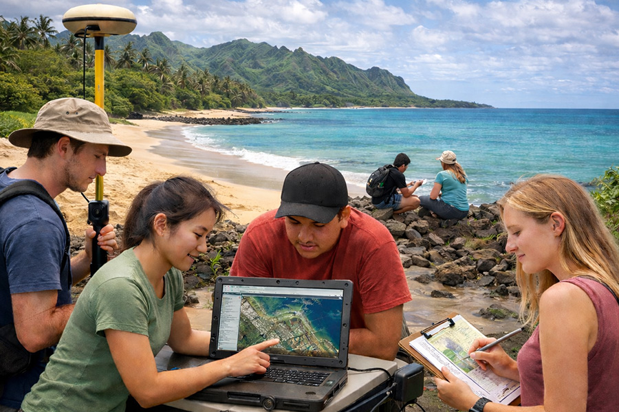
Place-based learning in Hawai‘i
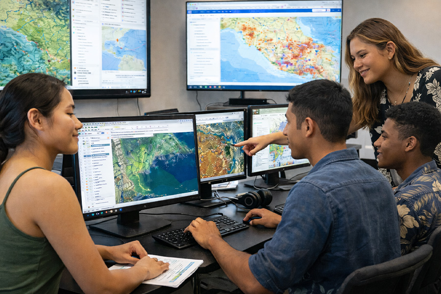
Hands-on, career-ready skills
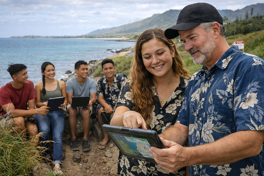
Supportive and connected campus
Current & Developing GIS Courses
Courses are subject to scheduling and enrollment demand.
GEO 104 · Digital Earth (3 credits)
Introduces spatial thinking, coordinate systems, map projections, scale, digital cartography, ArcGIS Online, and web mapping with Hawai‘i and Pacific-centered examples.
- Build foundational mapping and geospatial literacy
- Explore GPS, remote sensing, LiDAR, and digital storytelling
- Create a final StoryMap project
GEO 270 · Introduction to GIS (4 credits)
Builds core GIS skills in spatial data structures, geodatabases, ma design, and spatial analysis and ArcGIS Pro and ArcGIS Online workflows.
- Work with vector and raster data
- Learn GIS fundamentals, overlays, and geospatial provlem-solving
- Create a professional map project using real-world data
GEO 271 · Applied GIS & Spatial Analysis (4 credits)
Advances student skills through geoprocessing, overlay analysis, raster and vector workflows, project design, and applied decision-support mapping.
- Use geodatabases, joins, spatial queries, buffers, clips, and terrain of suitability analysis
- Analyze local and global challenges through GIS projects
- Communicate findings through map and reports
GEO 292 · Practicum in GIS (1 credit)
Connects classroom learning to professional or community-based GIS applications through a supervised practicum or project-based experience.
- Apply GIS tools in real-world contexts
- Produce deliverables such as StoryMap, poster, or GIS report
- Gain rediness for entry-level work or continued study
Examples of GIS-Related Career Areas
GIS is used across public, private, nonprofit, and research settings. These courses are especially relevant for students interested in mapping, planning, environmental analysis, hazard preparedness, cultural resource work, and spatial data communication.
GIS Technician

GIS Analyst

Cartographer / Mapping Specialist

Surveying & Mapping Technician
Environmental or Planning Support Roles

Transfer and Advanced Study
Salary and career outlook
Salaries vary by role, experience, industry, and location. National labor statistics demonstrate the broad applicability of GIS-related skills across multiple industries.
%
U.S. median pay: Surveying & Mapping Technicians
%
U.S. median pay: Cartographers & Photogrammetrists
%
Projected growth: 2024-2034
%
Annual openings: Cartographers and related mapping roles
Wage growth pathway
A common progression is to begin in technician or support roles and move toward higher-paid GIS analysis, cartography, or specialized geospatial positions as experience, project depth, and software fluency grow.
U.S. Bureau of Labor Statistics, Occupational Outlook Handbook (Cartographers & Photogrammetrists; Surveying & Mapping Technicians), 2024–2034 projections.
Hawai‘i snapshot
Recent Hawaiʻi wage data show surveying and mapping technicians around the mid-$50,000 range on average, with cartographers and photogrammetrists higher where data are available. GIS-related skills are used in government, utilities, environmental consulting, planning, and resource management statewide.
Source:
Hawaiʻi Department of Labor & Industrial Relations, Occupational Employment Statistics, 2024.
Important note
Not every GIS-related position uses the same job title. Students with GIS skills may work in planning, sustainability, emergency management, conservation, agriculture, public works, business analysis, or cultural resource fields. Actual pay depends on employer, credentials, and experience.
Learn More About GIS Courses at Leeward CC
Students who are interested in these courses may begin by applying to Leeward Community College and using the resources below for admissions questions, records, counseling, and student support.